Welcome to GeoExhibit
GeoExhibit is an open-source platform for creating rich, spatial narratives that combine maps, documents, media, and structured metadata into cohesive digital exhibits. Built for researchers, educators, and cultural institutions, GeoExhibit makes it easy to tell place-based stories while maintaining strong standards support—including Dublin Core metadata and OAI-PMH for discovery and interoperability. Whether presenting historical collections, spatial research, or interactive storytelling, GeoExhibit connects content, geography, and context in a flexible, extensible framework designed for long-term reuse and sharing.
Explore Demos:
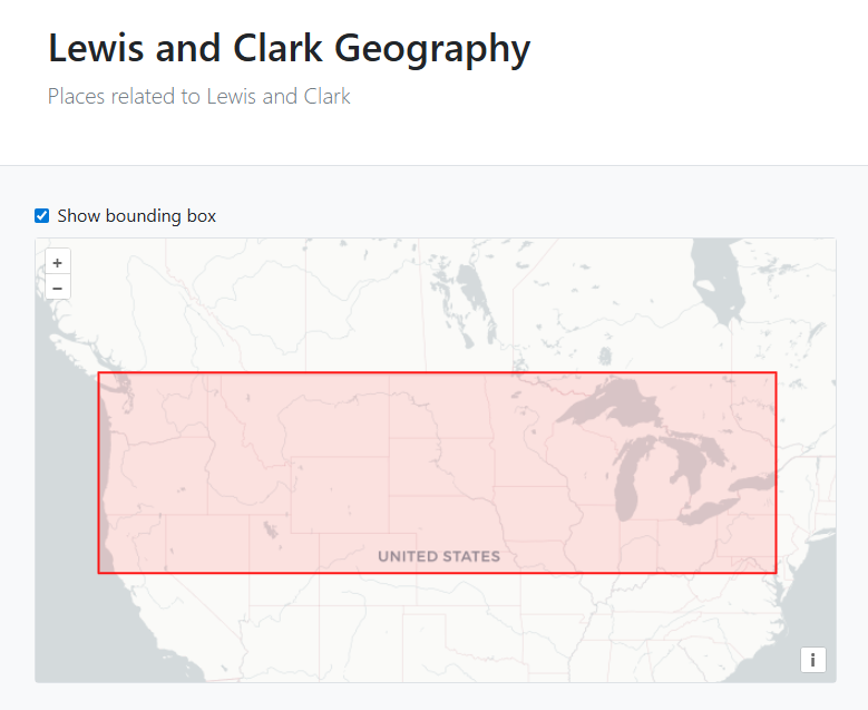
Demos below use our Lewis and Clark data